Image

The park was Crown granted to the then CSRD in 1991. It is the location of two regional district's well sites and a pumping station.
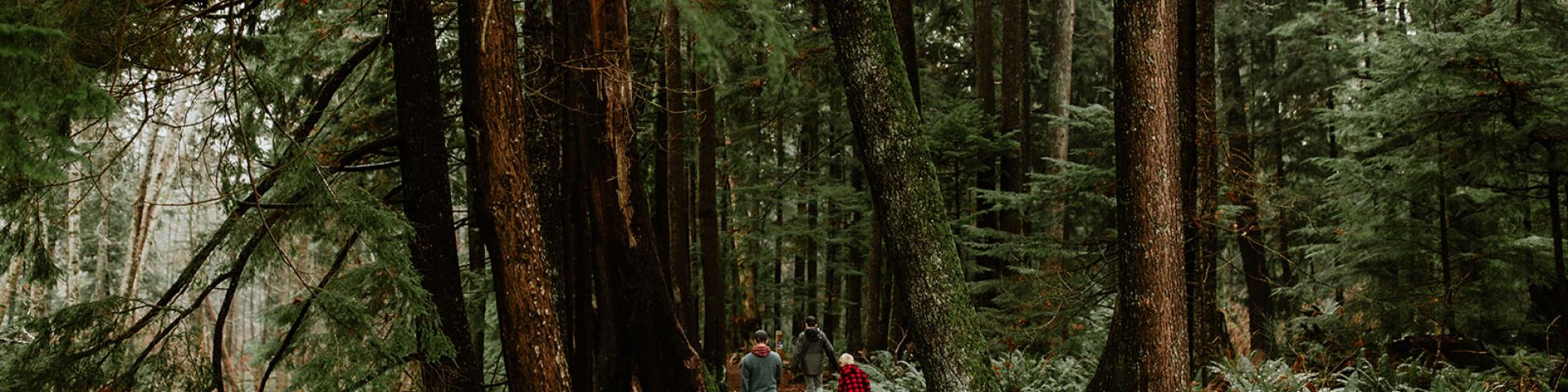
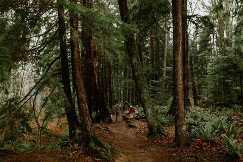
The park is a waterfront lot within the floodplain of the Oyster River. The Oyster River changes course periodically and much of the park is the previous location of the river and/or the 'delta' of the river. The banks are susceptible to erosion during high water. The forest has large sized trees and significant wildflowers, such as white and pinkly lily are present in the spring.
Oyster Bay-Buttle Lake (Area 'D')
Regent Road at Oyster River